Camera Drones
Take your vision to the sky with one of our many aircraft platforms.
A450-920 Multi-Rotor
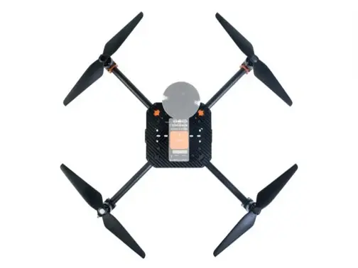
Starting at
$5,800
- Supports NDAA Compliance
- ~20 Minutes Flight Time
- Perfect for:
Consumer,
Construction,
Commercial Photography,
First Responders,
Environmental Monitoring - Customizable
A460-375 Multi-Rotor
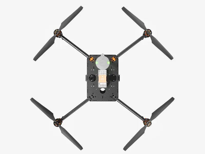
Starting at
$7,000
- Supports NDAA Compliance
- ~30 Minutes Flight Times
- Perfect for:
Agriculture,
Construction,
Disaster Response,
Infrastructure Inspections, - Customizable
Scout VTOL
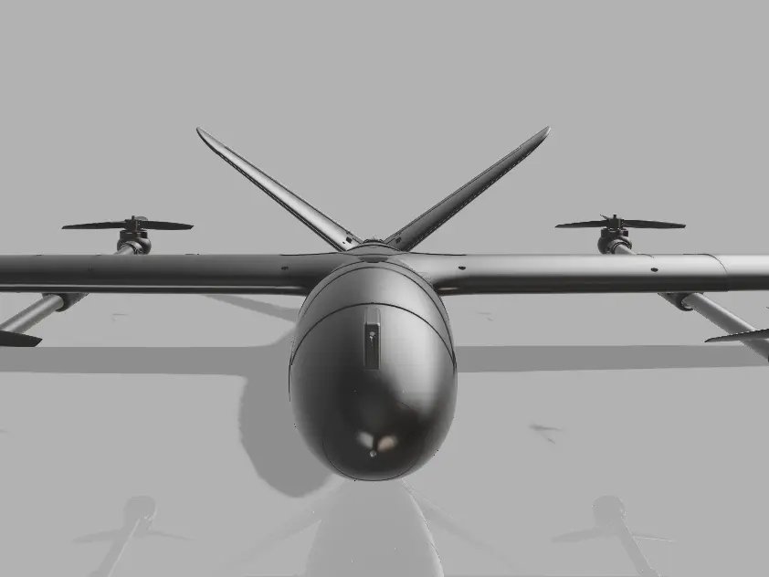
Starting at
$13,500
- Supports NDAA Compliance
- ~1 hour and 30 Minutes Flight Times
- Perfect for:
Agriculture,
Construction,
Disaster Response,
Infrastructure Inspections,
Environmental Monitoring - Customizable
A Drone For Every Industry

Infrastructure Inspections
Enhance the safety and efficiency of infrastructure maintenance with our American made aircraft. Our drones provide detailed visual and thermal imaging to identify potential issues in bridges, power lines, pipelines, and other critical structures, ensuring timely repairs and uninterrupted service.

Agriculture
Revolutionize your farming practices with our advance drone technology. From crop health monitoring and soil analysis to precision spraying and yield predictions, our solution help you increase yields, reduce cost, and promote sustainable agriculture.
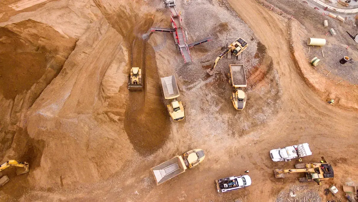
Construction
Boost the efficiency and accuracy of your construction project with our aerial surveying and monitoring technology. Our drones capture high-resolution imagery and 3D models, providing real-time data for site planning, progress tracking, and safety inspections, ensuring your projects stay on schedule and within budget.

Environmental Monitoring
Protect and preserve the environment with our comprehensive drone-based monitoring solutions. Our technology offer precise data collection for air and water quality assessments, wildlife tracking, and habitat mapping, supporting conservation efforts and regulatory compliance.
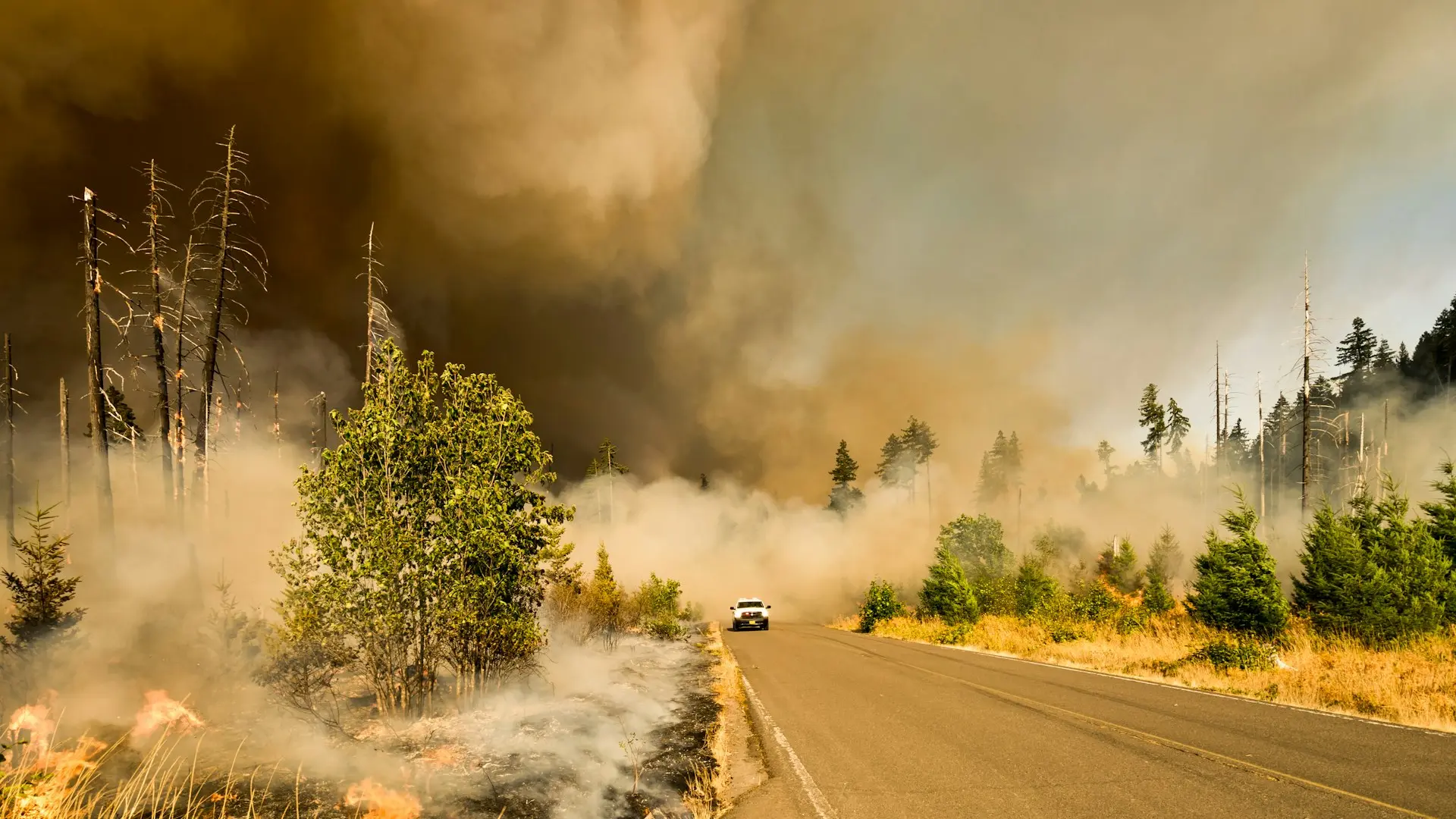
Disaster Response
Respond swiftly and effectively to natural disasters. Our drones provide critical real time information, enabling efficient search and rescue operations, damage assessment, and resource allocation, helping to save live and restore normalcy faster.
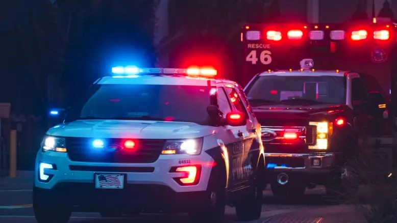
First Responders
Empower first responder with our aerial support. Our drones offer immediate situational awareness, live streaming capabilities, and thermal imaging aiding in the rapid assessment of emergencies, coordination of rescue efforts and enhancement of overall public safety.